For early stage founders looking to get their vision out into the world, 1776’s Challenge Cup, which has a New York deadline of July 14, could be a very good opportunity.
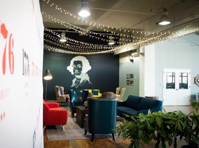
The Challenge Cup is the signature pitch competition of 1776, the incubator and coworking space based in Washington, D.C., and which has locations in Brooklyn, Dubai and San Francisco. It will take the winners of more than 75 local competitions from around the world and put them into the Global Final-Challenge Festival competition, which will take place here in Brooklyn in the fall.
The competition allows “the world’s most promising startups that are tackling complex, regulated challenges to share their vision on a global stage, engage with industry leaders, and win grand prizes,” according to 1776.
The prize for the competition comes in the form of visibility. There is no cash or guaranteed investment.
We have covered several companies currently working out of 1776, including Benefit Kitchen, an app for low-income workers to find out what public assistance they’re eligible for, Reefill, which is trying to build an urban grid of filtered water, and Bonbouton, which is developing smart clothes.
ApplyJoin the conversation!
Find news, events, jobs and people who share your interests on Technical.ly's open community Slack